
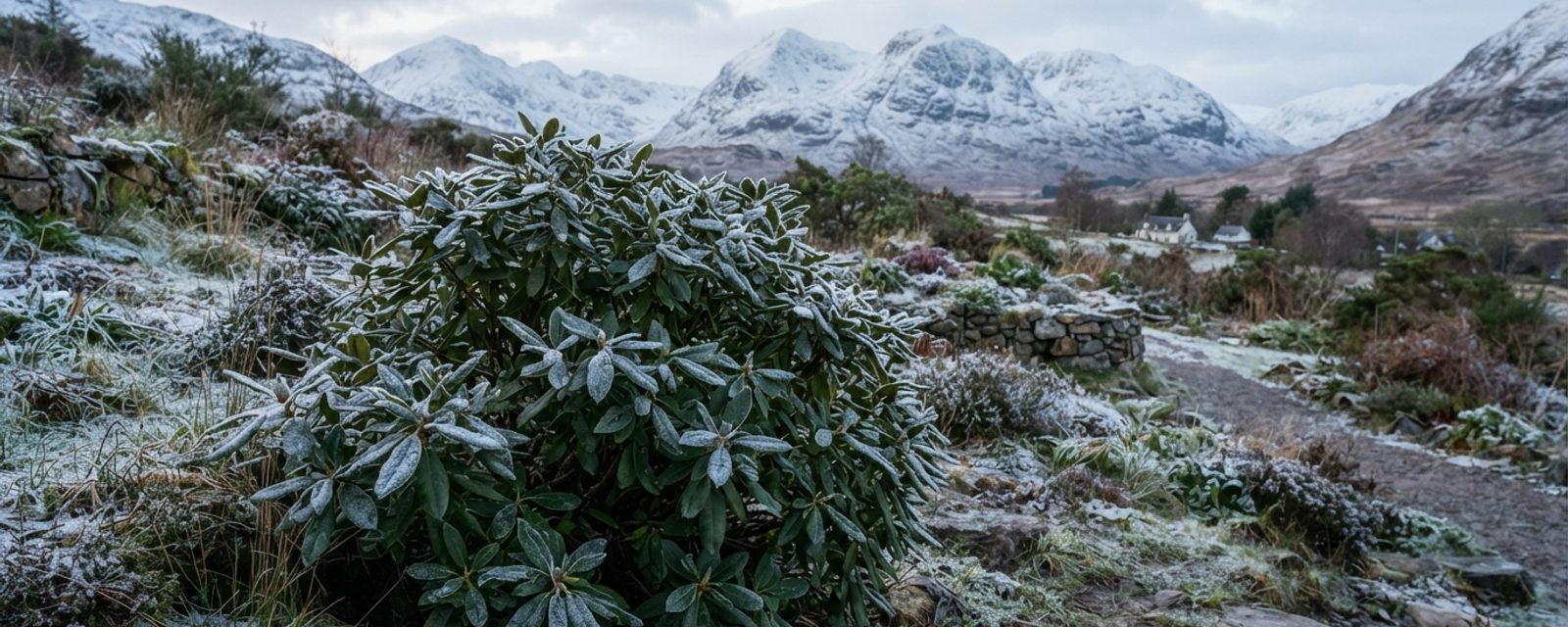
A plant's RHS hardiness ratingThe RHS's H1a–H7 scale for how much cold a plant can survive outdoors, H1a being tender indoor-only and H7 hardy anywhere in the UK. Full definition → is a band of temperature, not a single number: the lowest winter cold it can be expected to survive outdoors, unprotected, expressed as a range like "−15 to −10°C" rather than one figure. The RHS introduced this H1a–H7 scale in 2012, replacing an older, cruder H1–H4 system, and built it specifically around absolute minimum winter temperature, the coldest a plant is likely to face, rather than the long-term statistical average used by the American USDA zone system many gardeners have half-heard of. That distinction matters for how the rating should be read: it's a worst-case band, not a typical one.
The scale in full
| Rating | Temperature | What it means |
|---|---|---|
| H1a | Above 15°C | Heated glasshouse, tropical, never survives outdoors in the UK |
| H1b | 10 to 15°C | Heated glasshouse, subtropical, can go outside for summer in a sheltered spot |
| H1c | 5 to 10°C | Heated glasshouse, warm temperate, survives a UK summer outdoors |
| H2 | 1 to 5°C | Tender, needs a frost-free glasshouse or conservatory over winter |
| H3 | −5 to 1°C | Half-hardy, manages outdoors in mild or coastal areas, at risk elsewhere without shelter |
| H4 | −10 to −5°C | Hardy in an average UK winter, but not everywhere |
| H5 | −15 to −10°C | Hardy through most UK winters, including severe ones |
| H6 | −20 to −15°C | Hardy throughout the UK and northern Europe |
| H7 | Below −20°C | Hardy in the severest European continental climates, including exposed upland UK |
The interesting text sits inside H4 and H5, not the temperature figures themselves. H4 is officially defined as hardy through most of the UK apart from inland valleys, at altitude and central or northerly locations. H5 is similar: hardy through most of the UK even in severe winters, but it may not withstand open or exposed sites or central/northerly locations. Neither line names Scotland. But inland valleys, altitude, and central or northerly locations describe an enormous amount of the country, which is exactly why a label like H4, the most commonly quoted rating on a generic plant-care page or a seed packet written with the UK's mild south in mind, needs a harder look here than it gets further south.
Testing the "Central Belt = H6, Highlands = H7" idea
It's a tidy shorthand, and it's not baseless, Scotland as a whole does run colder than the H4 rating most generic advice assumes, sometimes by two or even three whole bands. But tested against regional climate records, region-by-region shorthand collapses. The driver isn't which part of Scotland a garden sits in; it's altitude and distance from the sea, the same pattern behind this site's own frost-date research for spring frost timing.
Extreme minimum temperature records make the point directly. These are not "an average bad winter" figures, they're the coldest single night on record at each named station, the genuine worst case a long-lived shrub or tree might eventually face over a lifetime in that spot.
| Station | Region (loosely) | Recorded extreme minimum | Roughly maps to |
|---|---|---|---|
| Lerwick, Shetland | Northern Isles | around −8 to −9°C | H4 |
| Inverness, Moray Firth coast | Highland (lowland) | around −15 to −16°C | H5/H6 border |
| Edinburgh Royal Botanic Garden | Central Belt (lowland) | around −15 to −16°C | H5/H6 border |
| Glenlee, Dumfries & Galloway | Southwest | −18.3°C (Jan 1940) | H6 |
| Glasgow Airport | Central Belt (lowland) | −20°C (29 Dec 1995) | H6/H7 border |
| Carnwath, South Lanarkshire | Central Belt (upland fringe) | −24.8°C (11 Jan 1982) | H7 |
| Altnaharra, Sutherland | Highland (interior) | −27.2°C (30 Dec 1995) | H7 |
| Braemar, Aberdeenshire | Cairngorms fringe | −27.2°C (10 Jan 1982) | H7 |
Carnwath sits in South Lanarkshire, squarely inside the postcode range this site's own data treats as Central Belt, and it has recorded a colder night than anywhere the "Highlands = H7" framing usually has in mind. Braemar, the coldest station in this list along with Altnaharra, sits in Aberdeenshire, Northeast Scotland on any regional map, not the Highlands at all. Meanwhile Inverness, on the Highland coast, has never recorded anything close to H7 cold; its worst night on record is barely different from Edinburgh's. And Shetland, the part of Scotland whose name sounds the most exposed, is the mildest place in this whole list by a wide margin, never colder than roughly H4.
Why the coast changes everything
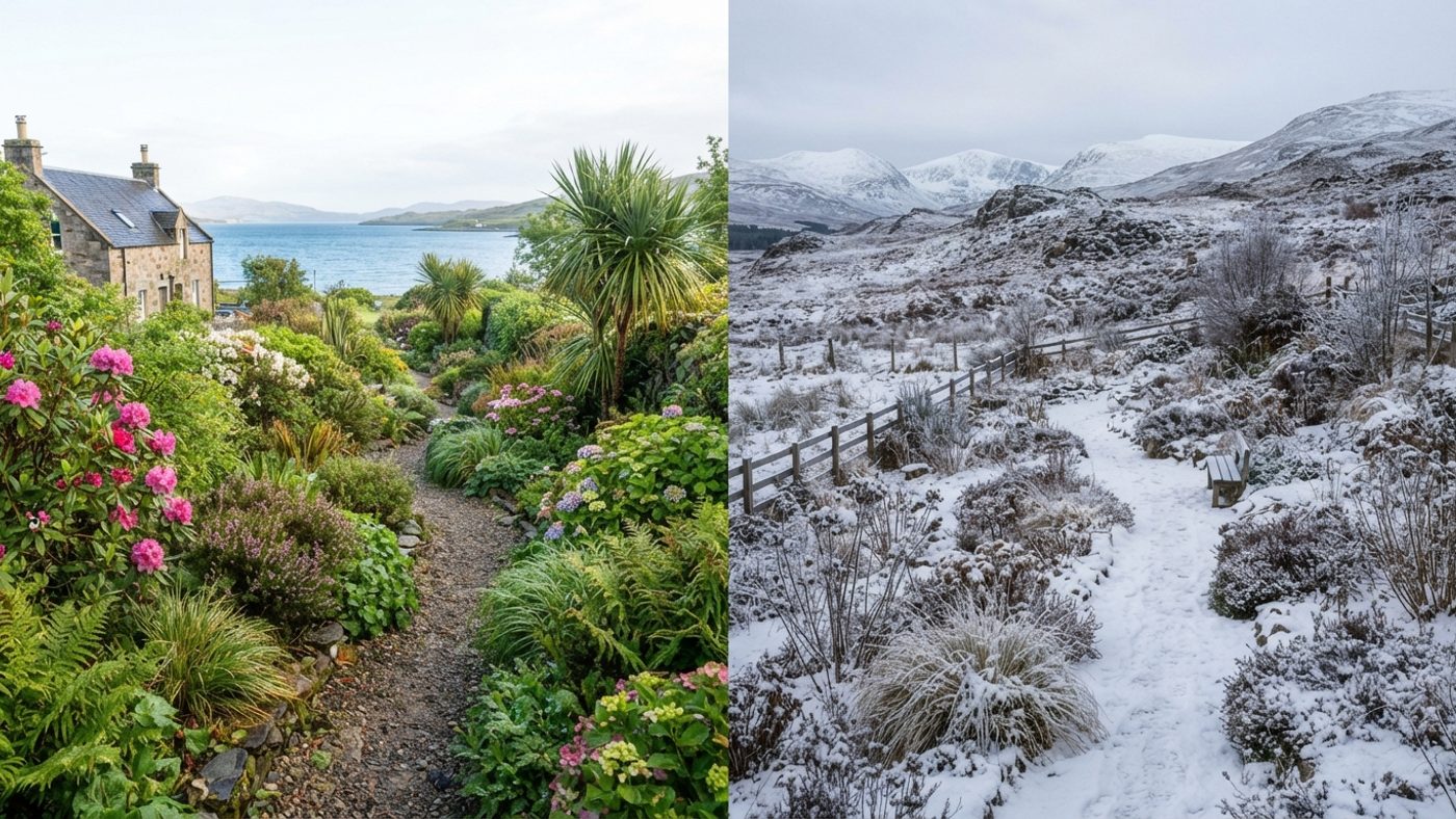
The reason threads through every regional record: the sea moderates temperature, and altitude and distance from it dominate everything else. Western Scotland is milder than Eastern Scotland due to the stronger maritime influence there, and the Gulf Stream keeps coastal annual mean temperatures in Ayrshire, Bute and Kintyre close to 9.5–9.9°C even as inland and upland parts of the same region fall to 8.0–9.4°C. Northern Scotland shows the identical pattern on a larger scale: mean daily minimum temperatures in January or February run around 2°C on west-facing coasts and the Western and Northern Isles, but drop below −1°C over higher ground within the same region, a swing driven by height and shelter from the sea, not by which side of a regional boundary a garden happens to sit on.
Where the real cold pockets are
The genuinely cold ground in Scotland is the interior and the upland fringe: the Cairngorms and their approaches (Braemar, and by the same Grampian geography much of inland Aberdeenshire), the far interior of Sutherland (Altnaharra), and the upland edges of the Southern Uplands reaching into the Central Belt itself (Carnwath). These are also the places where cold air drains and pools on still, clear nights, a documented effect for the Dee valley around Braemar specifically, and the same mechanism already established on this site for frost pocketsA low-lying spot where cold air drains and pools on still nights, making it noticeably more frost-prone than the surrounding area. Full definition → and sowing dates. A garden in one of these locations, wherever it sits on a regional map, is closer to H7 ground than H6, and plants labelled hardy on the strength of a generic "Scotland is H6" assumption are the ones most at risk there.
What this means for choosing plants
Treating "Central Belt" or "Highlands" as a fixed hardiness rating misreads what actually drives Scottish winter cold. A garden's real exposure depends on three things that cut across every regional boundary: height above sea level, distance from open water, and whether it sits somewhere cold air can pool overnight. A coastal Highland garden on the Moray Firth and a lowland Edinburgh garden face genuinely similar worst-case cold, both close to the H5/H6 line; an inland South Lanarkshire garden at altitude and a Cairngorms-fringe Aberdeenshire garden face genuinely similar cold too, both into H7 territory, whatever region either one is labelled. The one instinct worth keeping from the shorthand is the direction of the correction: read a plant's H4 rating with real caution almost anywhere in Scotland, since the H4 definition already excludes inland valleys, altitude, and northerly or central locations, and that description fits most of the country by name. But treat H6 as a safer working assumption for a typical lowland or coastal Scottish garden rather than a guaranteed one, and reserve genuine H7 hardiness for anywhere that's noticeably elevated, well inland, or known to sit in a frost pocket, checking your own site's altitude and shelter matters more here than checking which region it falls into.
Common questions
Is my garden H6 or H7?
There's no single answer by postcode. A sheltered, low-lying, coastal garden anywhere in mainland Scotland is realistically closer to H5/H6 on its worst nights; an elevated, inland, or frost-prone garden, in the Central Belt as much as the Highlands, is closer to H7. Height above sea level and distance from open water tell you more than region does.
Does an H4 plant have any place in a Scottish garden?
Yes, with real care about where it goes: a sheltered wall, a courtyard, a raised bed against a south-facing house wall in a mild coastal spot. H4 is officially defined as excluding "inland valleys, at altitude and central or northerly locations", most of Scotland by that description, so an H4-rated plant grown in the open, exposed ground of an average Scottish garden is taking a real risk in a hard winter, not a marginal one.
Why does Shetland come out milder than the Central Belt in this data?
The sea. Shetland is surrounded by open water that never gets anywhere near as cold as the land does, so it almost never produces the extreme low temperatures that inland and upland Scotland can, even though it's Scotland's most northerly inhabited ground. Wind exposure, not winter cold, is the real growing challenge there.
Do container plants need a higher hardiness rating than the same plant in open ground?
Effectively, yes, even where the H-rating itself is unchanged. A pot loses heat from all sides rather than being insulated by surrounding soil, so roots can be damaged at temperatures the same plant would shrug off in the ground. Treat a containerisedA plant grown and sold in a pot of compost, which can be planted out at any time of year, unlike a bare-root plant. Full definition → plant as needing roughly one band more protection than its label suggests, moving it somewhere sheltered or lagging the pot in a hard winter.
Where can I check my own local frost risk more precisely than this article covers?
Scotland's regional frost dates page breaks the country down by named Met Office station with a lowland/upland split, which is a closer match to a specific garden than either a postcode region or a single hardiness figure.
Sources
4 sources, recorded with what each was used for
- RHS: RHS hardiness rating: Full H1a–H7 scale, temperature bands, the absolute-minimum-winter-temperature methodology, and the H4/H5 regional caveat wording ("inland valleys, at altitude and central or northerly locations")
- Met Office: Eastern Scotland climate: Braemar's -27.2°C UK-record low (10 January 1982), severe cold-spell description, Edinburgh RBG/Braemar extreme-minimum figures, and cold air draining into the Dee valley around Braemar
- Met Office: Western Scotland climate: Glenlee's -18.3°C (January 1940), Carnwath's -24.8°C (11 January 1982), Glasgow Airport's -20°C (29 December 1995), and the maritime-moderation/Gulf Stream explanation for coastal vs inland annual mean temperatures
- Met Office: Northern Scotland climate: Altnaharra's -27.2°C (30 December 1995, UK record shared with Braemar), Inverness/Lerwick extreme-minimum figures, and the coastal-vs-upland mean daily minimum temperature description for Highland, the Western Isles, Orkney and Shetland